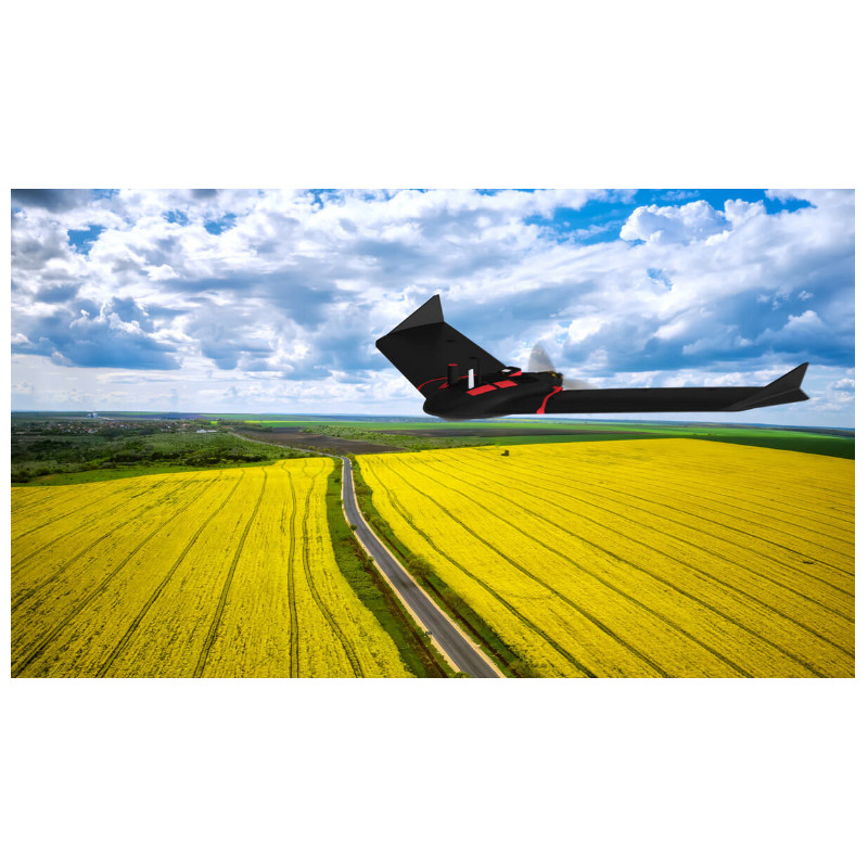


The eBee Ag is a reliable, affordable fixed-wing drone that helps farmers, agronomists and service providers map and monitor crops quickly and easily. With its fixed Duet M multispectral/RGB camera, automated flight and vast coverage, eBee Ag delivers accurate and timely plant health insights for making better decisions to improve crop yields, save on inputs, allocate resources and achieve greater profit potential.
Full details provided
After a simple hand launch, your eBee Ag drone will then fly, capture images and land by itself. eMotion’s built-in Flight Data Manager automatically handles the georeferencing & preparation of images required for post-processing in software such as Pix4Dmapper or Pix4Dfields.
Flight time: 45 minutes with standard battery and up to 55 minutes with available endurance battery
Max. nominal coverage at 122 m (400 ft)
Ground sampling distance at 122 m (400 ft)
Lowest ground sampling distance (42m)
160 ha (395 ac) with a Standard battery
200 ha (494 ac) with Endurance battery
Global network = local support senseFly’s renowned Technical Support is never far. Get your senseFly drone repaired locally, thanks to our global network of authorized repair centres.
Flown by operator
Down to 2.5 cm absolute accuracy with RGB. Available RTK allows you to achieve the high precision accuracy your project requires, without GCPs.
2.8 cm/px (1.1 in/px) RGB
11.5 cm/px (4.5 in/px) Multispectral
1.1 cm/px (0.4 in/px) RGB
4 cm (1.6 in) Multispectral